
Assessing urban accessibility in the city of Brescia: the impact of public transport infrastructures
Setting up a methodology for analysing the urban accessibility of Brescia referring to the available modes of transport. Understanding which are the more disadvantaged areas in terms of accessibility and available transport services. Identifying where new services should be located to lower the gap between different areas and reduce the car traffic inside the city. Evaluating the impact of new public transport infrastructures, such as tramways and subways.
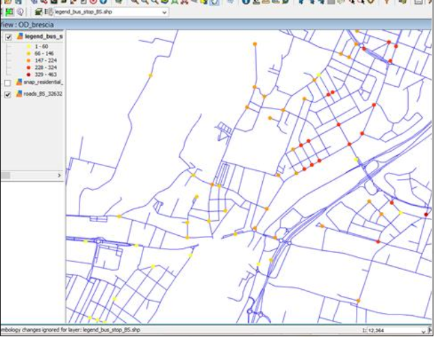
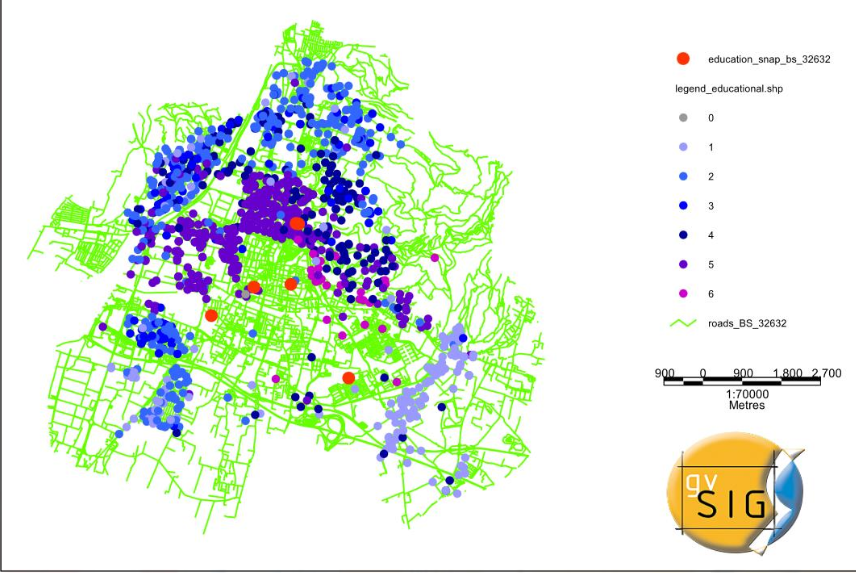
The open source software gvSIG, as well as its network extension, has been used for assessing urban accessibility levels. The proposed methodology is based on a comprehensive data collection regarding different urban subsystem, such as population, road network, public transport networks, traffic flows, and so on. Network analysis tools have been employed for calculating travel times from one district to another by using private and public transportation. The same methodology and tools have been be used to forecast the impact of new tramway/subway lines inked to the already existing subway system.
The proposed methodology allows to identify which districts in Brescia are neither fully nor properly connected, as well as evaluate some potential solutions in order to improve the level of transport infrastructure, also considering the future integration of the tramway and subway lines in the existing urban public transport network.
- Presentation at the 10th International gvSIG Conference.