
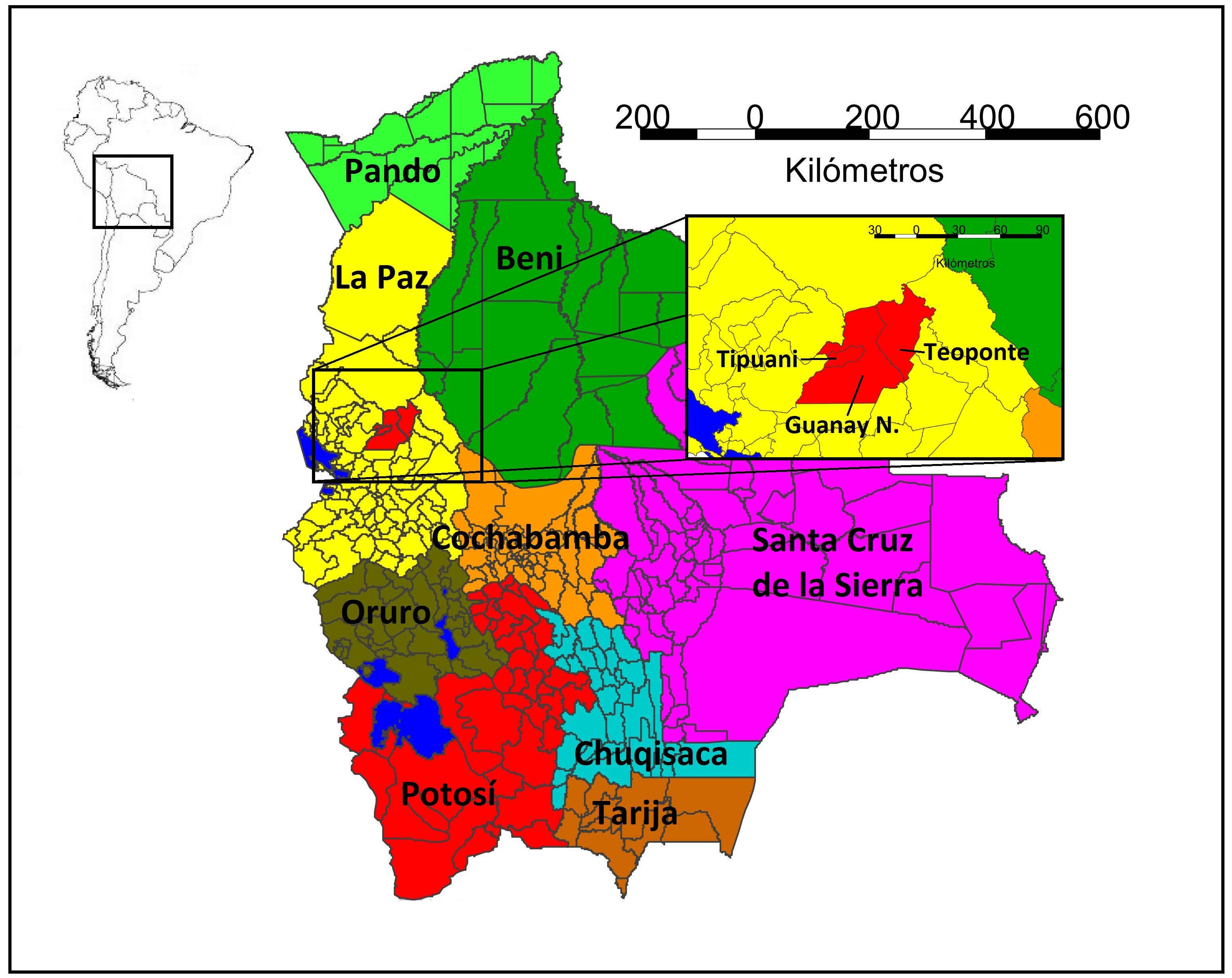
gvSIG applied to the landslide susceptibility analysis: Municipalities of Guanay, Tipuani y Teoponte, La Paz, Bolivia.
Contact name:
Adrián Fernández Sánchez
Organization:
Freelance. Spain
Sectors:
Software:
Other software:
Situation:
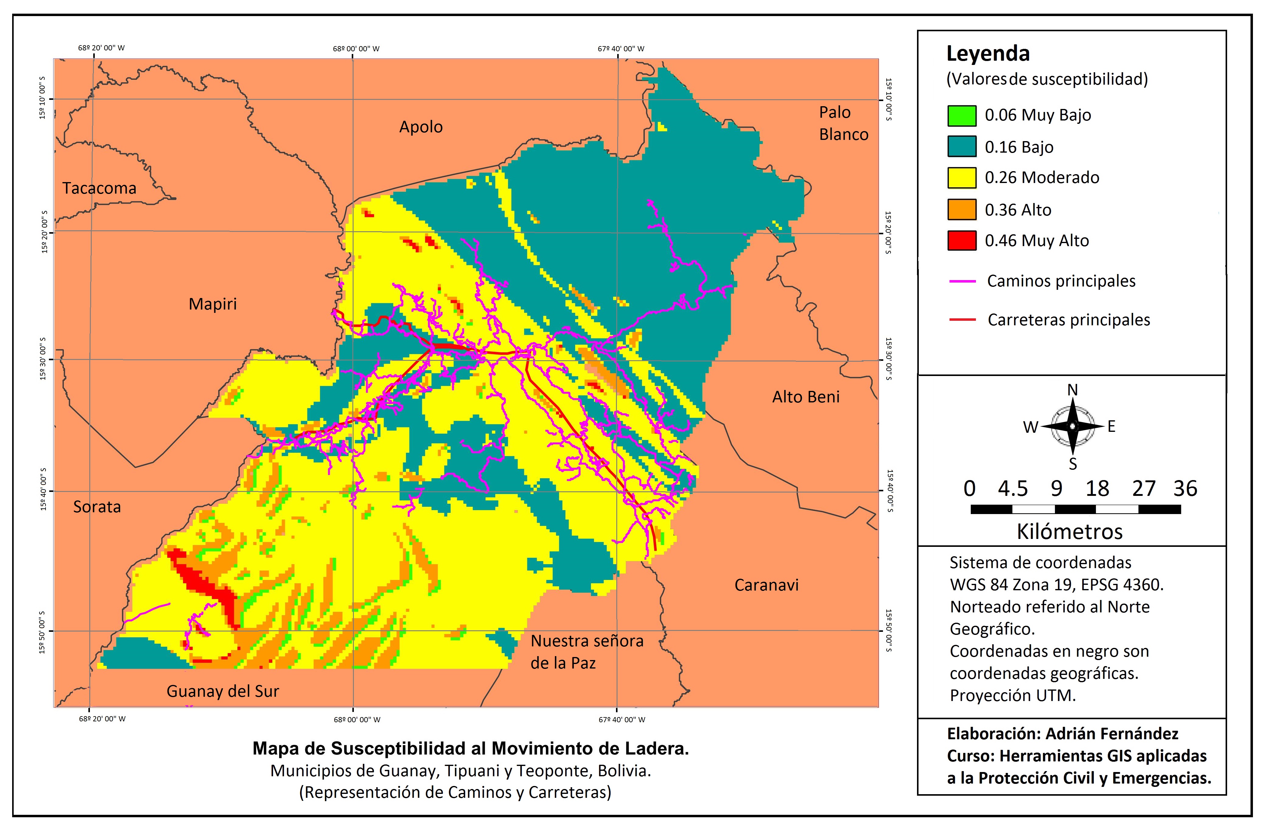
Development of a detailed analysis of the Landslide Susceptibility by AHP methodology. Layers needed: basic Shappefiles as Geomorphology, Geology, Vegetation, Ground permeability and Contour Lines. In order to do a Risk analysis approximation, layers needed: Cities and Villages, Roads and Highways.
Solution:
- Digitalisation in case of severe lack of information; Modification of layer values in order to adjust to the factor and class weights following a Saaty Matrix method; Layer Rasterisation according to new values.
- Conversion from Contour lines into DEM through a Rasterisation and followed by a No value Pixel refill. It was converted into a Slope layer and then Reclassified to the values established by the weights given by Saaty Matrix.
- New layer calculation with Map Calculator tool, in which the basics layer made Susceptibility layer. Each factor, before it was added to the other ones, was multiplied by it weight as follows:
Susceptibility = Geomorphology*(Weight) + Lithology*(Weight) + Permeability*(Weight) + Slope*(Weight) + Slopes*(Weight) + Vegetation*(Weight).
- Adding layers of Cities,Villages, Highways and Roads, we could reach an aproximation to the Risk analysis, due to inability to apply the general Risk equation (Risk = Hazard*Vulnerability*Exposition).
Benefits:
- gvSIGis a good tool to make AHP methodology for landslide susceptibility analysis.
- Setting up areas with High or Low landslide hazard values.
Rate it!!: