
Digital field mapping with Geopaparazzi and gvSIG
Geopaparazzi is an application for fast field surveys. Its simplicity and the possibility to use it on as good as any android smartphone makes it a trusty field companion for engineers and geologists, but also for tourists who wish to keep a geodiary and any user that needs to be aware of his position even in offline mode.
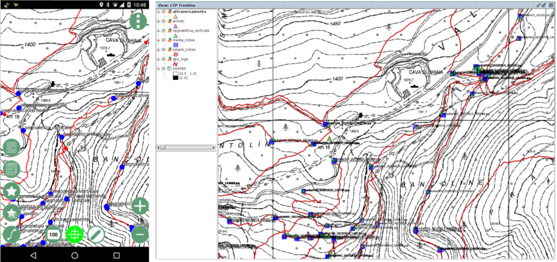
In Geopaparazzi it is possible to create text, picture and sketch notes and place them on the map. Notes can also be complex and form based in order to standardize surveys in which many people need to be coordinated.
The data collected in the field can be exported as KMZ or GPX or exported as shapefiles using the JGrassTools library, but there isn't a Desktop GIS that can directly visualize and browse this data.
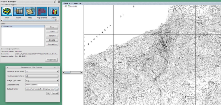
The plugin for Geopaparazzi in gvSIG supplies an userfriendly GUI with GIS functionalities to visualize all the data collected in the field, GPS tracks, text notes, pictures and form based notes and gives the possibility to save them as shapefiles.
A very useful and fast tool to check the data collected in the field within a GIS directly from the file of the Geopaparazzi project without the need to export and save different shapefile. With this tool it is also possible to share projects with others, check the contents and periodically verify the results of the surveys.
- Presentation at the 11th International gvSIG Conference (English, Spanish).
- Project website.