
gvSIG for georeferencing historical and archaeological points of interest
Contact name:
Cleiton Silveira
Organization:
Universidade Federal do Rio Grande (FURG)
Sectors:
Software:
Situation:
The aim was to provide a geospatial view of the permanent fortifications in the region of the Lagoa dos Patos (Brazil) in the eighteenth century.
Solution:
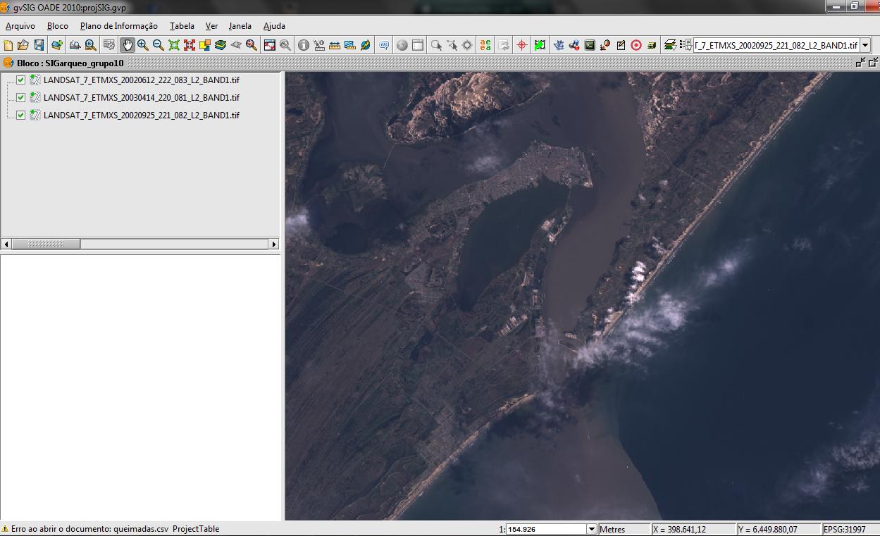
Development of a geographic information system associated with a survey of historical and archaeological information extracted from documents, books, oral histories and archaeological research done in that region. The GIS software used is gvSIG.
Benefits:
It is a contribution to the knowledge of regional history.
Links:
Slides from the presentation given at the 3rd LAC gvSIG Conference and Article which that presentation is based on(Writen in Portuguese-BR)
Rate it!!: