Skip directly to content

GeoServer

Ecosistema abierto para la representación espacial de sistemas de información. IDESAN, caso de uso aplicado a la gestión sanitaria en la Conselleria de Sanidad de la Generalitat Valenciana

Situation: 

El proyecto surge de la necesidad por parte de la Consellería de Sanitat de la Generalitat Valenciana de contar con un sistema geográfico horizontal capaz de dar respuesta a las distintas problemáticas surgidas de los distintos servicios que la conforman. Especialmente se debía dar respuesta a tres ámbitos prioritarios:

  • Representación, adecuación y optimización de la gestión del territorio atendiendo a aspectos sanitarios. Era necesario poder visualizar geográficamente toda la información alfanumérica contenida en los sistemas corporativos.

Software: 
4
Average: 4 (4 votes)
Country: 

gvSIG como aporte à Transferência de Tecnologia para o Instituto de Investigação Agrária de Moçambique

Situation: 

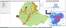
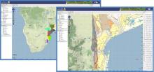
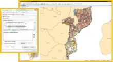
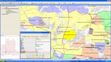
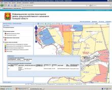
A Embrapa junto a outras instituições nacionais e internacionais iniciou um projeto de fortalecimento da pesquisa, desenvolvimento e transferência de tecnologia em agricultura e recursos naturais para o governo de Moçambique onde o setor agropecuário tem grande relevância social e econômica responsável por 89,3% do PIB, sendo a principal fonte de alimentos, trabalho e renda deste país. Técnicas de análises espaciais sobre os recursos naturais podem subsidiar o planejamento territorial rural e contribuir para o desenvolvimento do país.

Software: 
5
Average: 5 (2 votes)

gvSIG applied to the management of the agricultural lands of the Lipetsk Region

Situation: 

To take decisions in the management of territory, the governor of the Lipetsk Region and the Heads of the municipal districts need an information about current state of the agricultural lands and its use. As a rule, that information is existing in the form of the paper maps and schemes, it's awkward in the daily work and doesn't reflect the real situation.

Software: 
5
Average: 5 (2 votes)
Country: 

Использование gvSIG в задачах управления землями сельскохозяйственного назначения

Situation: 

Для решения задач управления руководителям и специалистам органов исполнительной власти областного уровня и органов местного самоуправления муниципальных районов Липецкой области необходима информация о текущем состоянии земель сельскохозяйственного назначения и их использовании. Ранее такая информация была представлена в виде бумажных карт и схем, не отражала реального состояния и была труднодоступной.

Software: 
4.2
Average: 4.2 (5 votes)
Country: 

Pages