gvSIG and the Project Campus
Campus project was initiated with a goal to prove that open source tools can successfully be used in public administration, and bring more benefit in total compared to commercial solutions.
As a part of a wider project of Land Administration in Bosnia & Hercegovina, it concentrated on a desktop application suitable for editing and maintenance of geospatial data in a Cadastre office. Data are stored within open source Postgresql database.
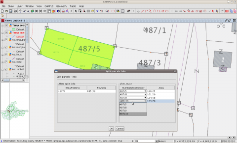
As gvSIG platform itself offered majority of functionalities need for the project it was used as a base and with several additional custom-made extensions the application was customized to fit Cadastre office employees needs. Extensions include GUI/CAD tools for semi-automated edition of polygon data (add parcel, split parcel, insert building, merge parcels...) and also managing of data stored in database to enable comfortable multi-user surrounding.
Choosing gvSIG for a platform significantly reduced costs and effort to implement required solution. Implemented extensions are also open code, so they might be used, tested and potentially improved by other gvSIG users. Also, new tools which are constantly introduced by gvSIG team can be included into solution straightforward.

