Skip directly to content

gvSIG Desktop

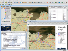
gvSIG is a Geographic Information System (GIS) desktop application designed for capturing, storing, handling, analysing and deploying any kind of referenced geographic information in order to solve complex management and planning problems. gvSIG is known for its user-friendly interface and being able to access all common vector and raster formats. It features a wide range of tools for working with geographic information (query, layout creation, geoprocessing, networks, etc.), which turns gvSIG into the ideal tool for users working in the land realm.

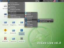
8th international gvSIG Conference gvSIG Live DVD

This Live-DVD was created for the 8th International gvSIG Conference (November 2012). It includes a course on gvSIG 1.11 and another one on gvSIG Mobile.

No votes yet

gvSIG Desktop 1.12 portable

Portable release of gvSIG Desktop 1.12 for Windows and Linux.

gvSIG Software: 
Average: 4.7 (12 votes)

OSGeo Live 6.0.1

This 6.0 release of the OSGeo Live project comes with gvSIG 1.11 and more than 40 software covering almost any need on geospatial technologies.

gvSIG Software: 
No votes yet

7th international gvSIG Conference gvSIG Live DVD

Live DVD released at the 7th International gvSIG Conferenece.

gvSIG Software: 
No votes yet

Análisis del cambio de tipo de cobertura en la microcuenca urbana Hato de la Virgen ubicada en el municipio de Ibagué, Colombia

Situation: 

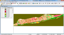
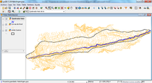
El cambio de tipo de cobertura del suelo influye en muchos fenómenos naturales y procesos ecológicos, como la escorrentía, compactación o erosión del suelo, la sedimentación de las aguas y las condiciones ambientales locales. Las zonas urbanas están cambiando debido a diversas actividades humanas, las condiciones naturales y las actividades de desarrollo, por lo cual se hace necesaria su actualización cartográfica.

Software: 
3.714285
Average: 3.7 (7 votes)
Country: 

Pages