Skip directly to content

Infrastructures

GEOGuide with gvSIG. Guide for technical studies for buildings

Situation: 

In 2009 the IVE (Valencian Institute of Building) needed a GIS application in order to generate geotechnical reports for the construction of buildings.

Software: 
0
No votes yet
Country: 

Territorial Information System. Micro Region ECOS

Situation: 

An information system that allows to visualize the traffic infrastructure and communications of the micro region and access to information referred to the geography and the social and economical potential of each one of the cities and towns belonging to that micro-region.

Software: 
0
No votes yet
Country: 

gvSIG for Archaeologists: Open source GIS for archaeological data processing, visualisation and analysis

Situation: 

To develop and document a methodology for the use of Open Source Software within surveying and figure creation, with particular reference to archaeological recording and dissemination

Software: 
5
Average: 5 (5 votes)
Country: 

gvSIG, the EIEL of Jaén and IDEJaén

Sectors: 
Situation: 

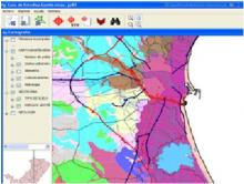
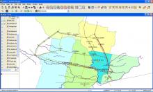
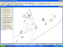
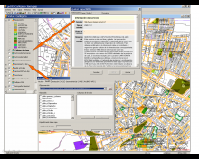
A GIS client was required that besides the basic GIS functionalities of editing, querying, geo-processing, etc., was also capable of accessing spatial data stored in a PostGIS database housed in a corporate database and WMS services internal and external to the company in compliance with the OGC standards.

Software: 
0
No votes yet
Country: 

gvSIG for managing roads information

Sectors: 
Situation: 

The main objective was to offer the geographical information available and develop a GIS for managing roads information.

Software: 
5
Average: 5 (2 votes)
Country: 

Pages