Skip directly to content

gvSIG Desktop

gvSIG is a Geographic Information System (GIS) desktop application designed for capturing, storing, handling, analysing and deploying any kind of referenced geographic information in order to solve complex management and planning problems. gvSIG is known for its user-friendly interface and being able to access all common vector and raster formats. It features a wide range of tools for working with geographic information (query, layout creation, geoprocessing, networks, etc.), which turns gvSIG into the ideal tool for users working in the land realm.

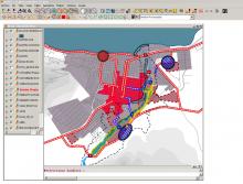
gvSIG applied to urban and territorial planning purposes

Situation: 

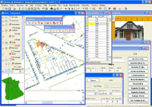
The main objective was to develop the Master Plan for the suburbs of a consolidated City's area, where new neighbourhoods needs to be established.

Software: 
3
Average: 3 (2 votes)
Country: 

gvSIG for the management of municipal cadastre

Situation: 

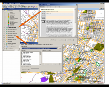
Having a geographic information system for urban cadastre where they will demonstrate significant savings in software licensing costs, based on spatial database.

Software: 
5
Average: 5 (2 votes)
Country: 

gvSIG and geoprocessing in areas of sand mineration on river layers

Situation: 

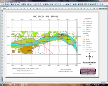
Use of geoprocessing through buffers and intersect tools, for the delimitation of not allowed areas to the dredging of sand in the stream bed of rivers (50 meters of the edge) and overlapping buffer limits.

Software: 
5
Average: 5 (1 vote)
Country: 

gvSIG y SIGLAPALMA

Situation: 

Las dificultades que se presentan en el uso de esta información geográfica se basan en la escasez, dificultad de localización, desconocimiento de sus características, calidad, elevado precio y sobre todo en los obstáculos de difusión e integración con otros sistemas de información diferente del organismo que los genera.

Software: 
5
Average: 5 (1 vote)
Country: 

gvSIG, the EIEL of Jaén and IDEJaén

Sectors: 
Situation: 

A GIS client was required that besides the basic GIS functionalities of editing, querying, geo-processing, etc., was also capable of accessing spatial data stored in a PostGIS database housed in a corporate database and WMS services internal and external to the company in compliance with the OGC standards.

Software: 
0
No votes yet
Country: 

Pages