Skip directly to content

gvSIG Desktop

gvSIG is a Geographic Information System (GIS) desktop application designed for capturing, storing, handling, analysing and deploying any kind of referenced geographic information in order to solve complex management and planning problems. gvSIG is known for its user-friendly interface and being able to access all common vector and raster formats. It features a wide range of tools for working with geographic information (query, layout creation, geoprocessing, networks, etc.), which turns gvSIG into the ideal tool for users working in the land realm.

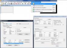
gvSIG and extDMSAR for Data Mining

Situation: 

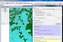
There are large volumes of geographic data stored in geographic databases. But the organization of the data and the existing tools usually manipulate only explicitly stored data. They can't extract implicit knowledge. So, it is essential to develop new technologies for extracting that kind of knowledge (spatial relationships, other non-explicit patterns...) because data mining is very important to make decisions.

Software: 
4
Average: 4 (3 votes)
Country: 

gvSIG et la création d’un Schéma territorial des services au Pays de Ploërmel-Cœur de Bretagne

Situation: 

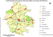
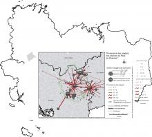
La mission consistait à recenser les services et équipements présents sur le territoire afin de dégager les caractéristiques et de voir les éventuels manques ou doublons. Elle devait être menée avec l’utilisation exclusive de logiciels libres. Parallèlement à cette mission principale plusieurs autres études ont été conduites et ont nécessité l’usage du SIG.

Software: 
5
Average: 5 (2 votes)
Country: 

gvSIG for georeferencing historical and archaeological points of interest

Situation: 

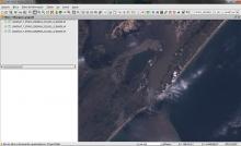
The aim was to provide a geospatial view of the permanent fortifications in the region of the Lagoa dos Patos (Brazil) in the eighteenth century.

Software: 
0
No votes yet
Country: 

gvBUS : gvSIG and public transport

Sectors: 
Situation: 

The Directorate General of Transport needed a GIS application to display all bus routes passing through Valencian Community (Spain). It had to include all bus stops which those bus routes have and the companies which manage them.

Software: 
5
Average: 5 (1 vote)
Country: 

gvSIG para Gestión Forestal : SIFOMAP 3.0

Situation: 

Una forma de organizar, planificar, y administrar los recursos forestales eficientemente y con integración de la información entre usuarios y proveedores lo constituye la utilización de los Sistemas de Información Geográfica como herramienta de soporte a las decisiones.

Software: 
2.333335
Average: 2.3 (3 votes)
Country: 

Pages