Skip directly to content

gvSIG Desktop

gvSIG is a Geographic Information System (GIS) desktop application designed for capturing, storing, handling, analysing and deploying any kind of referenced geographic information in order to solve complex management and planning problems. gvSIG is known for its user-friendly interface and being able to access all common vector and raster formats. It features a wide range of tools for working with geographic information (query, layout creation, geoprocessing, networks, etc.), which turns gvSIG into the ideal tool for users working in the land realm.

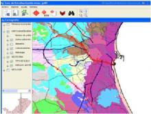
GEOGuide with gvSIG. Guide for technical studies for buildings

Situation: 

In 2009 the IVE (Valencian Institute of Building) needed a GIS application in order to generate geotechnical reports for the construction of buildings.

Software: 
0
No votes yet
Country: 

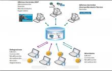
gvSIG and the “Habitat” Federal Program

Situation: 

For a good evaluation of the works and actions proposed by municipalities to get federal funding is necessary to have the geographical location of those works with exactness and on time for the various branch offices and central areas of the organization.

Software: 
4
Average: 4 (1 vote)
Country: 

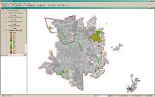
Geographic Information System "City of Oncativo"

Situation: 

Based on the multi used land registry criteria, it was necessary an information system that:

  • Allows to access to urban land registry information
  • Allows to differentiate urban and rural borders.
  • Provides reorganization and public services information.
  • Allows to negotiate correctly the territorial information in order to take decisions referred to planning and urban development .
  • Allows to add social-economical information
Software: 
5
Average: 5 (2 votes)
Country: 

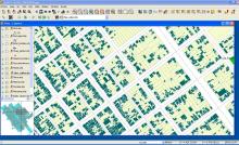
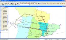
Territorial Information System. Micro Region ECOS

Situation: 

An information system that allows to visualize the traffic infrastructure and communications of the micro region and access to information referred to the geography and the social and economical potential of each one of the cities and towns belonging to that micro-region.

Software: 
0
No votes yet
Country: 

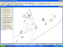
gvSIG for Archaeologists: Open source GIS for archaeological data processing, visualisation and analysis

Situation: 

To develop and document a methodology for the use of Open Source Software within surveying and figure creation, with particular reference to archaeological recording and dissemination

Software: 
5
Average: 5 (5 votes)
Country: 

Pages